01
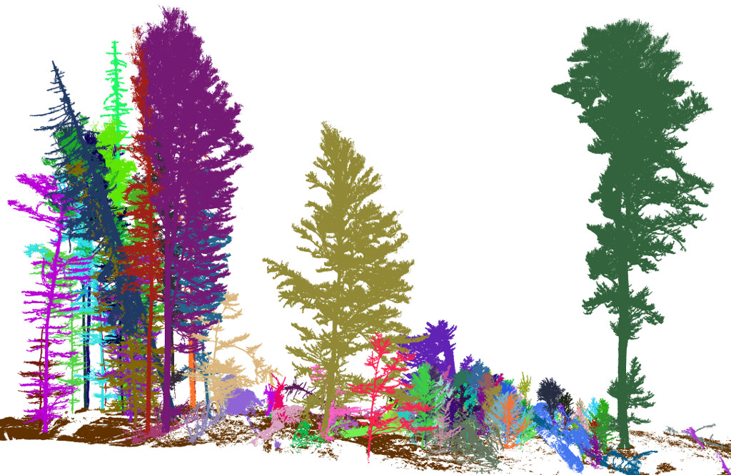
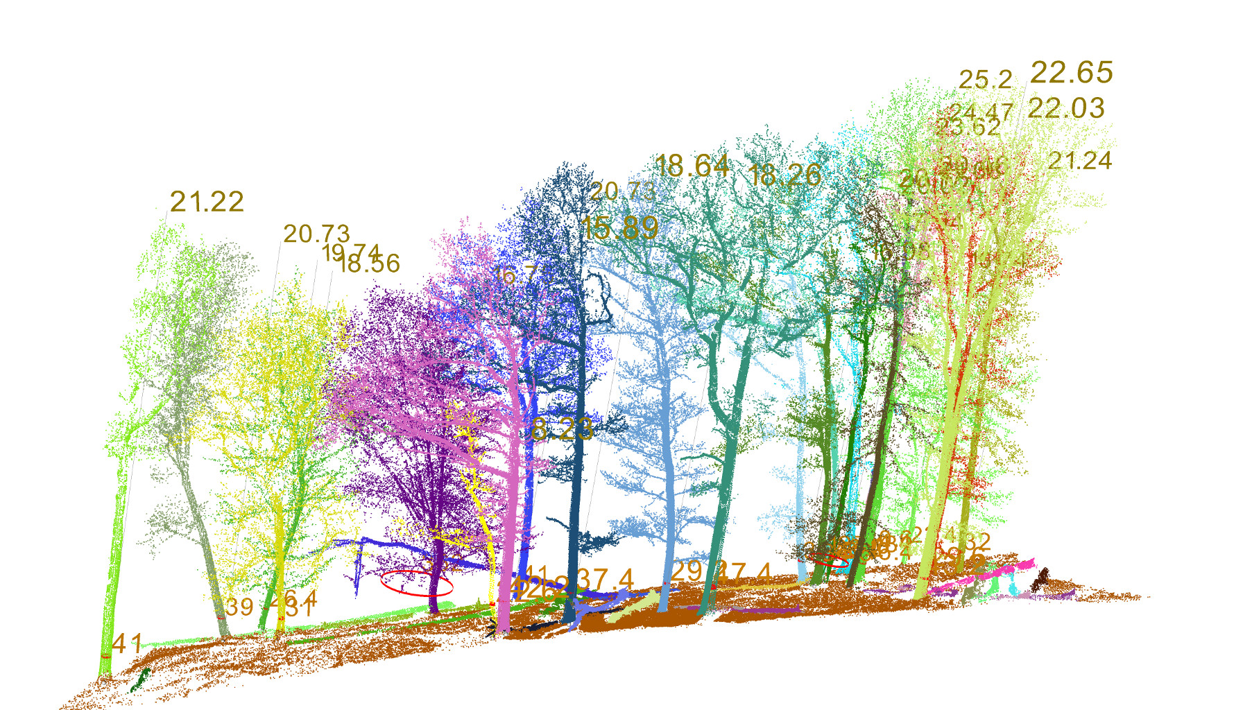
Tree Segmentation
Per‑tree detection tuned for forest structure with geometry‑aware clustering and canopy constraints.
3D Forest turns LiDAR point clouds into actionable forestry metrics: tree segmentation, DBH & height, crown volume — fast, transparent, and reproducible.
Per‑tree detection tuned for forest structure with geometry‑aware clustering and canopy constraints.
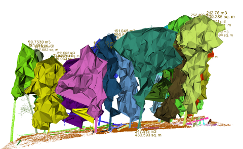
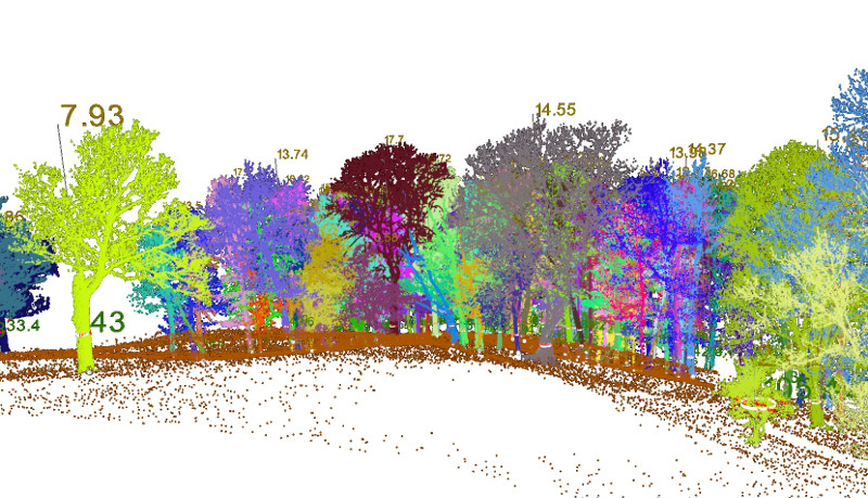
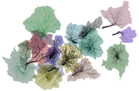
DBH, height, crown volume, canopy layers — export clean tables ready for analysis.
Windows • Linux • macOS. Transparent methods, community‑driven roadmap.
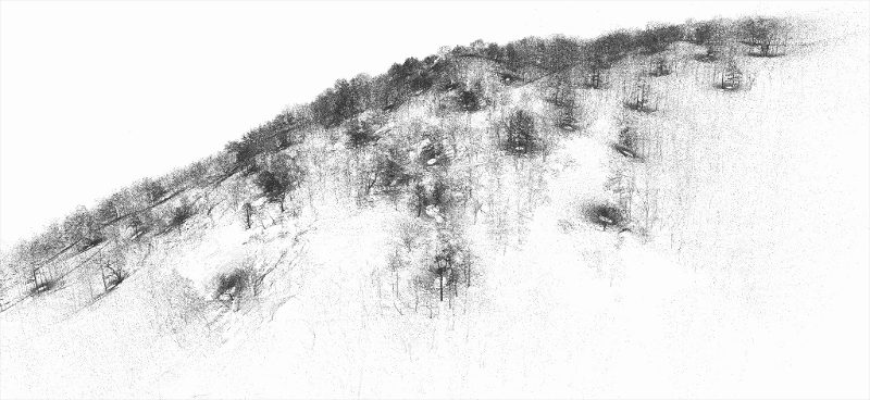
From raw point clouds to actionable insights — explore how 3D Forest visualizes, segments, and measures every tree with precision. See the transformation in every screenshot.
Enjoy real forest data on web.