Inspirations
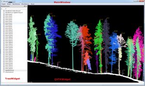
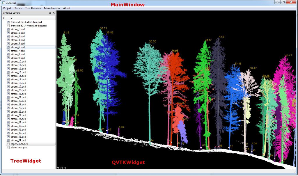
GUI of 3D Forest

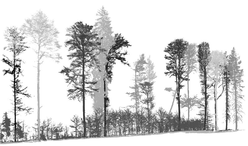
competition for light in 3D

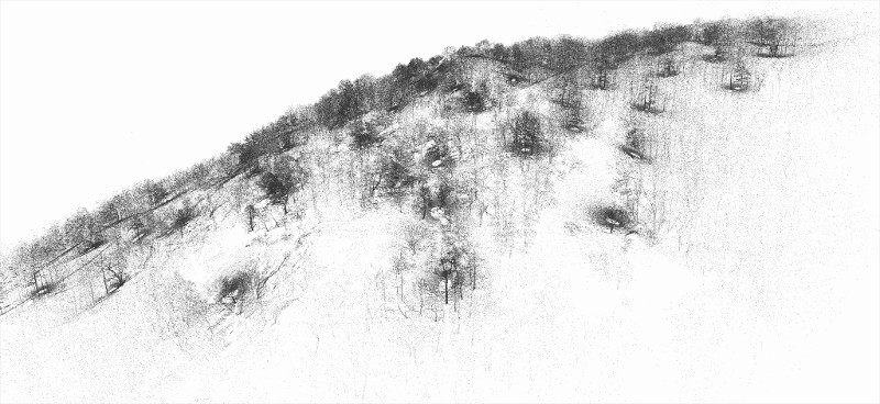
scannig on the edge
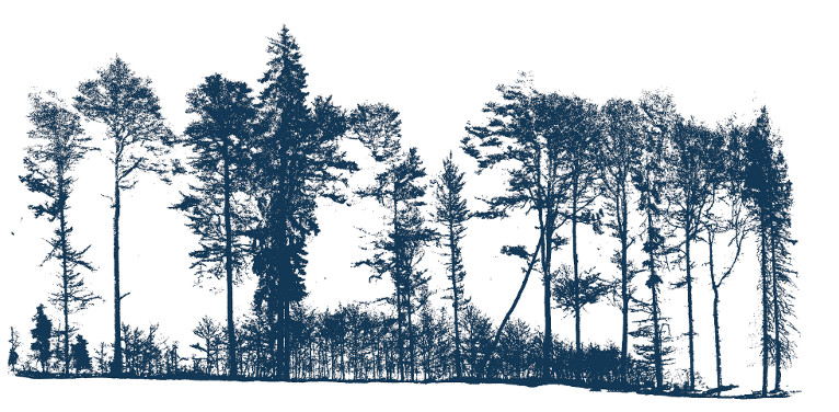
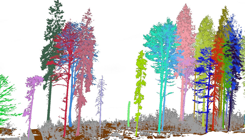
From the pointcloud ...

... through processing ...

... to measure individual trees

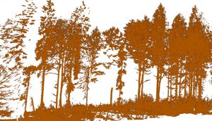
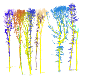
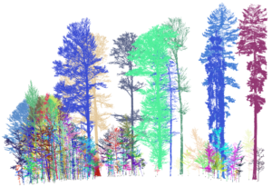
two tree species in scan
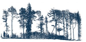
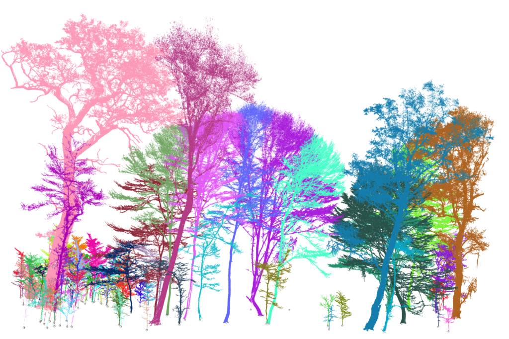
20x20 m sample of Žofín forest plot
colonization of canopy gap

Velká Pleš site

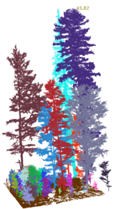
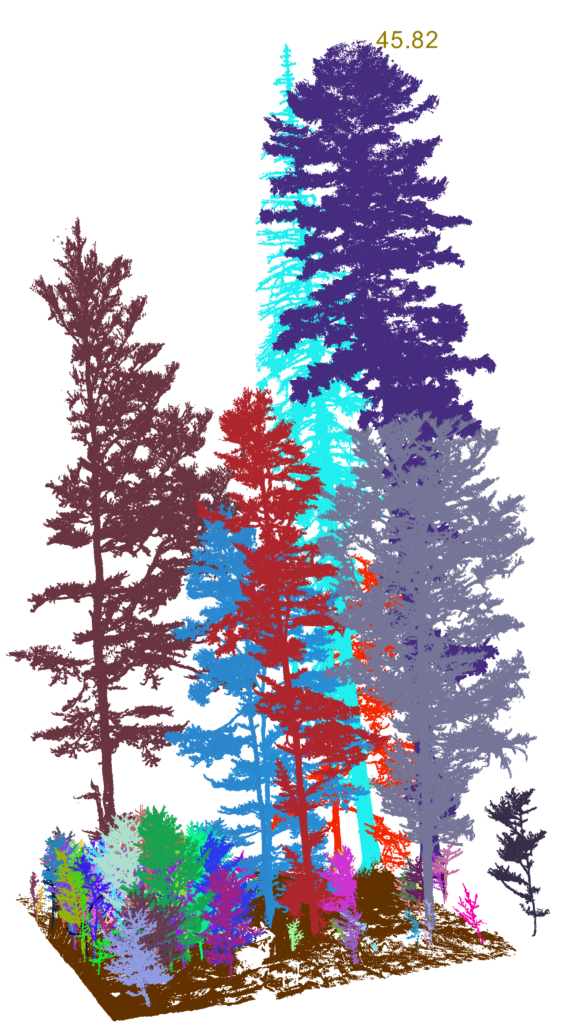
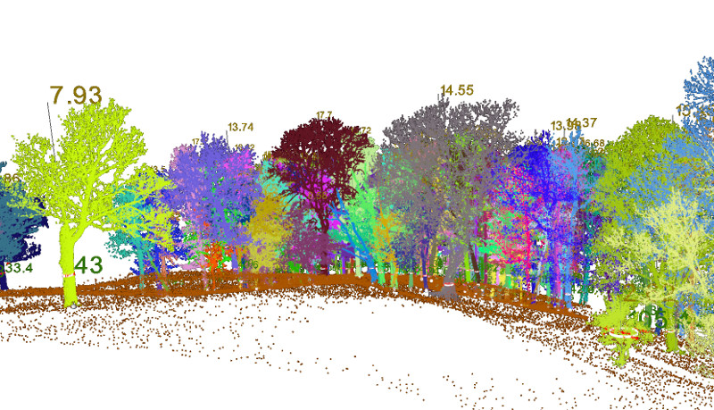
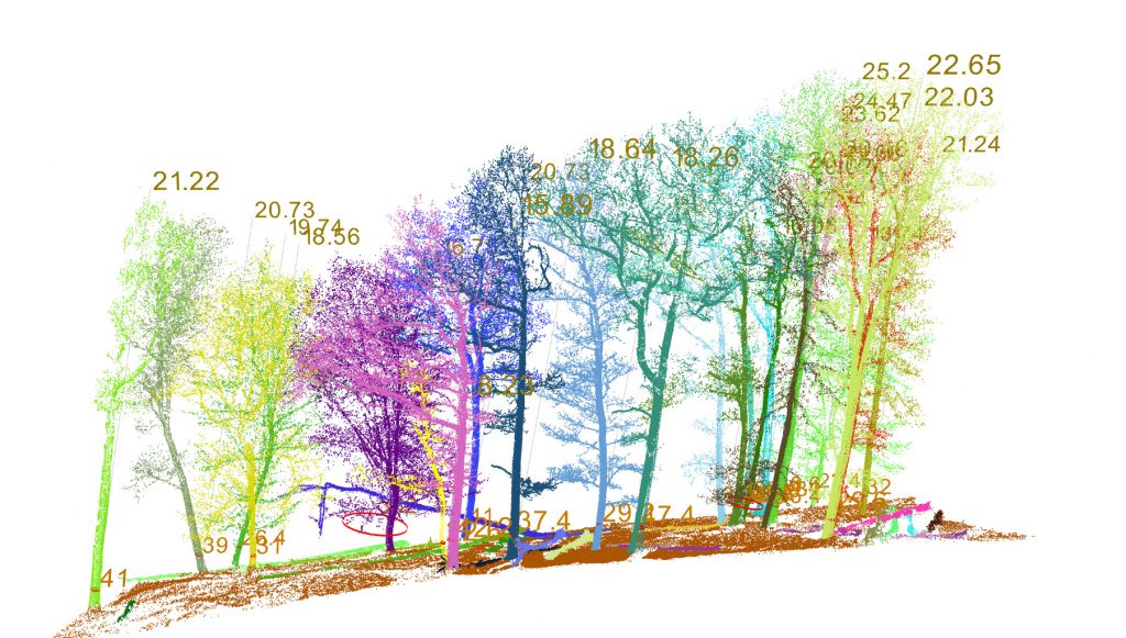
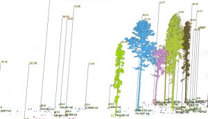
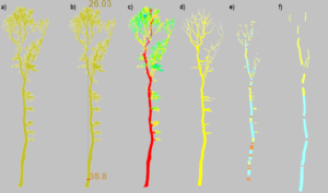
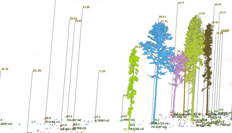
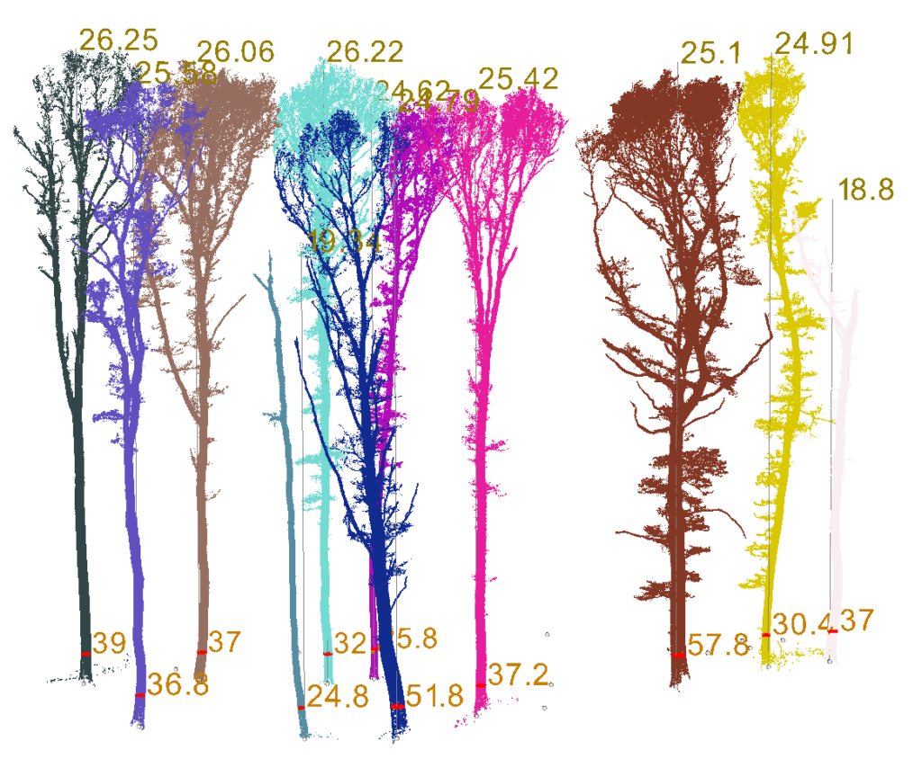
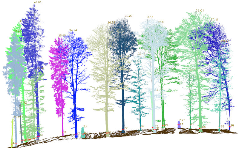
DBH and tree heights
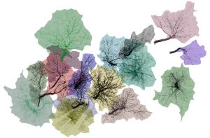
planar projections of trees

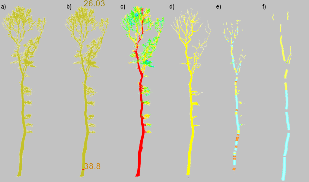
Processing workflow
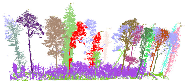
From the pointcloud ...
... through segmentation ...
... to measure individuals
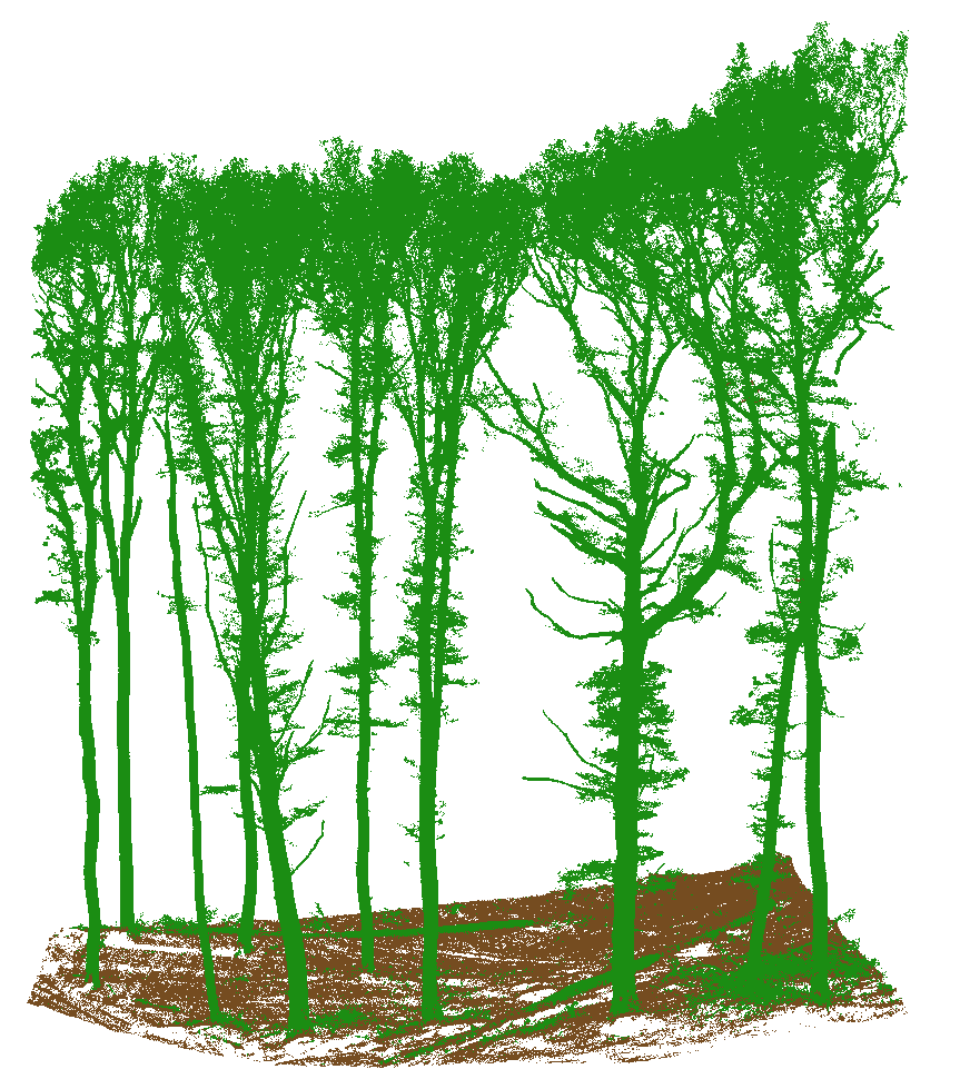
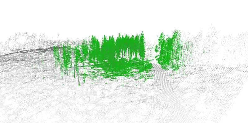
separation of terrain and vegetation

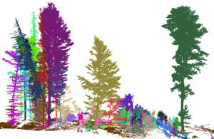
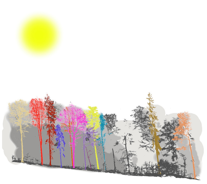
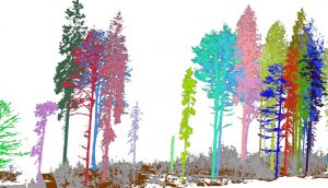
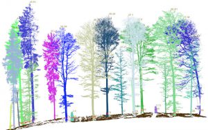
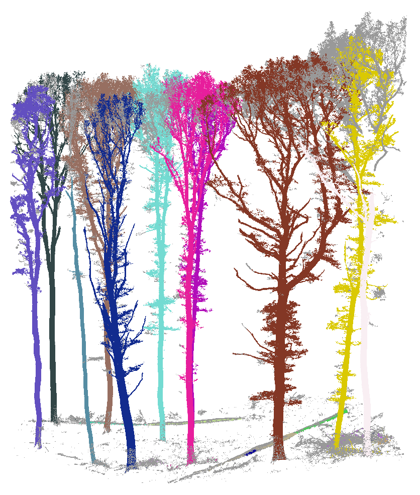
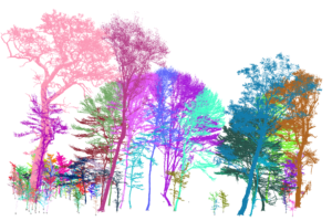
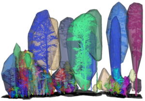
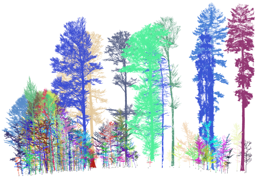
individual trees after automatic segmentation

automatic measurements with instant visualisation
QSM of trees (yelow cilinders)
from pointcloud through QSM to wood quality assortment
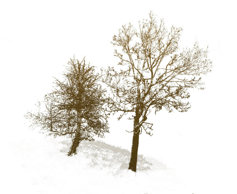
tree measurements ...
DBH and tree heights

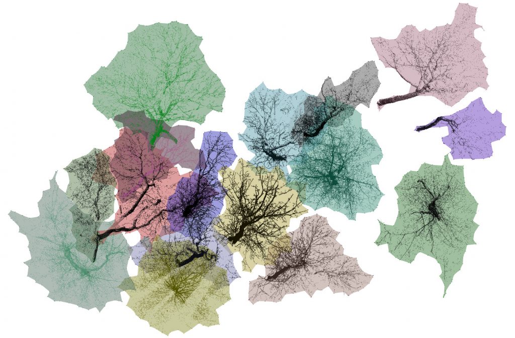
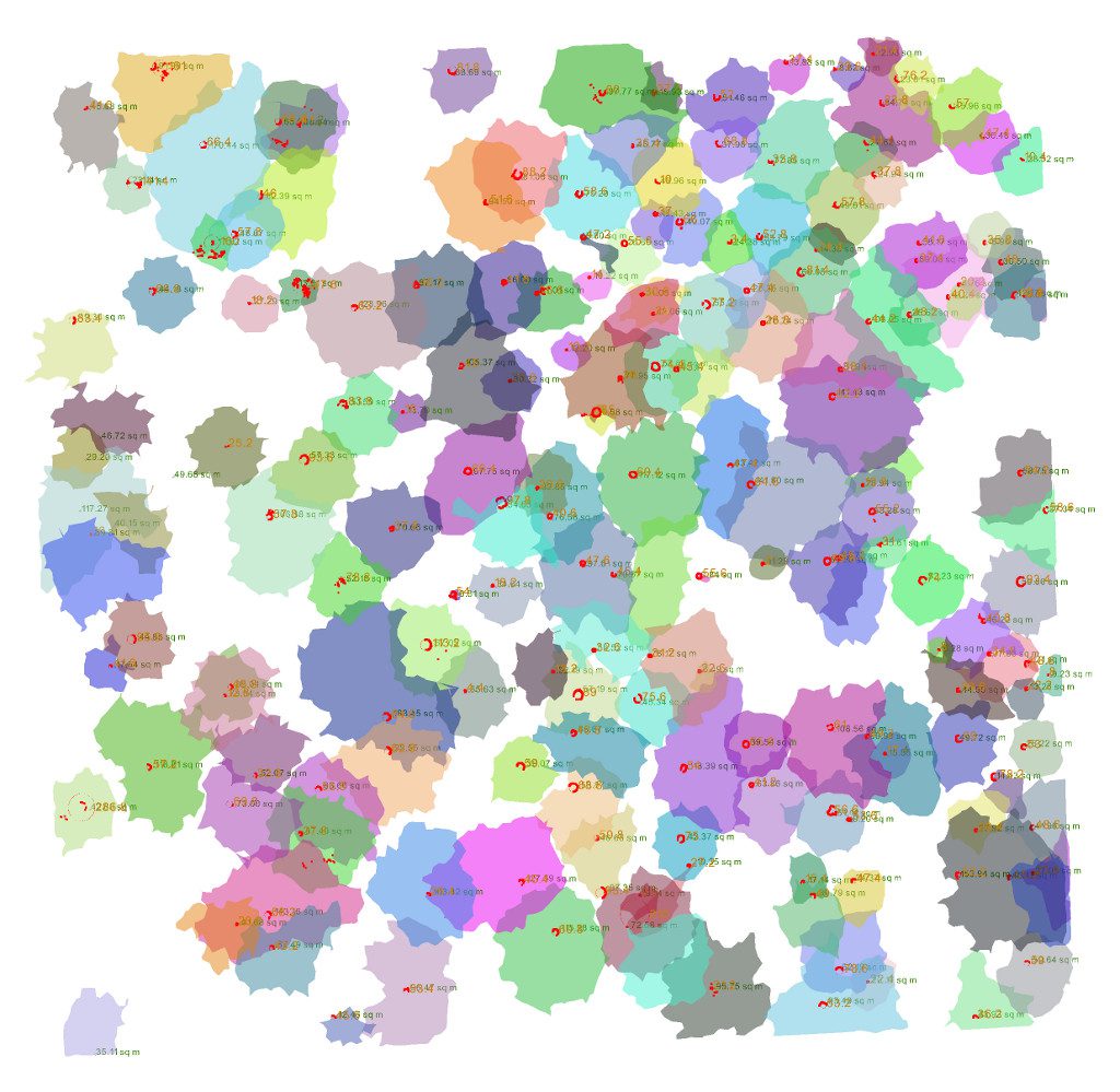
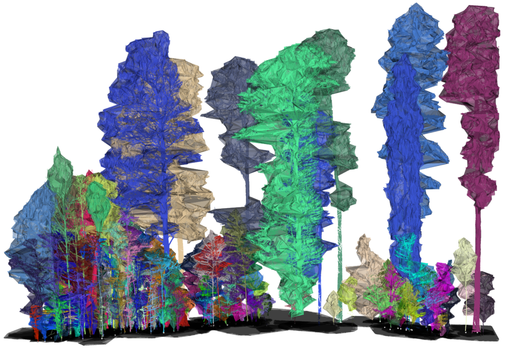
concave hulls of trees
planar projections of trees

Working with extensive data

Planar projections of 1 ha plot
Velká Pleš site

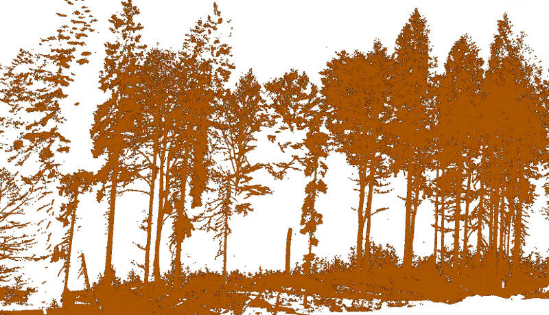
TLS of 10 ha oak woodland

Airborne and terestrial scans
Focus on crowns
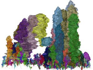
Ranšpurk site with segmented trees with DBh greater than 1 cm
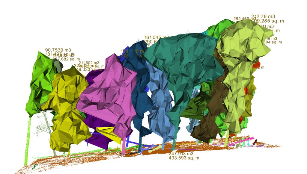
Example of crown hull created by sections
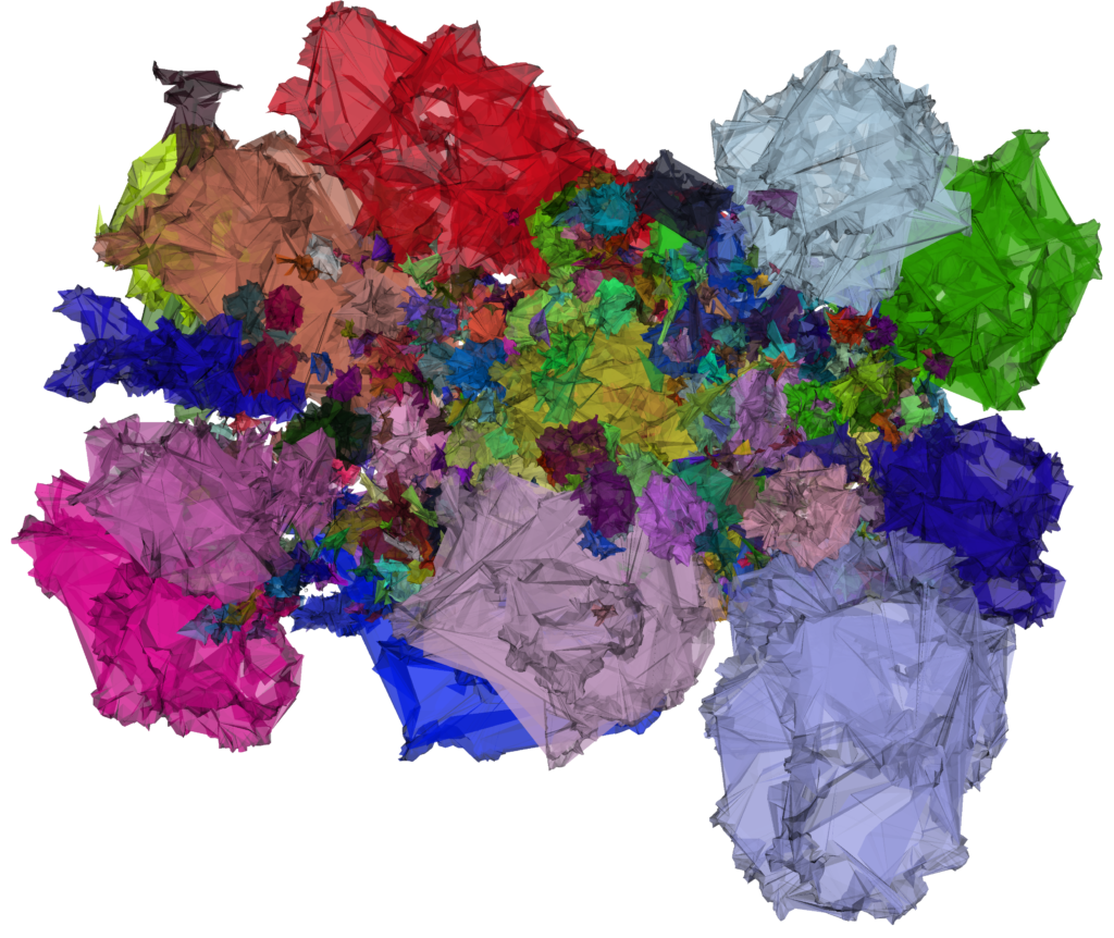
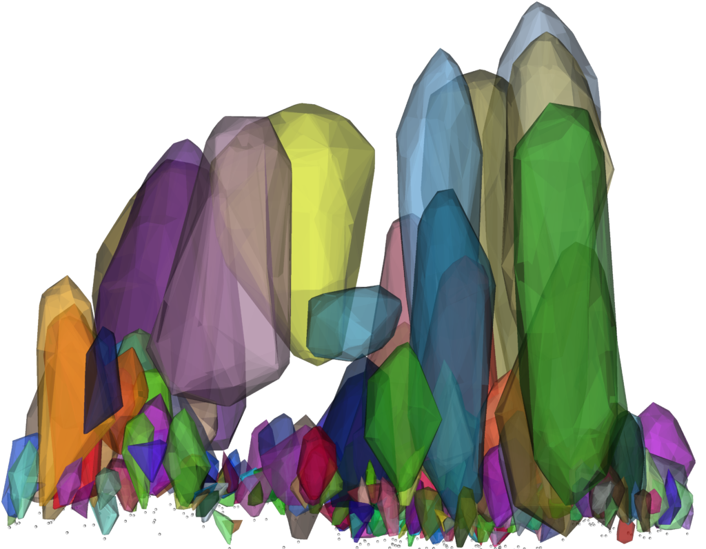
Convex hulls of crown on Ranšpurk site
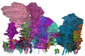
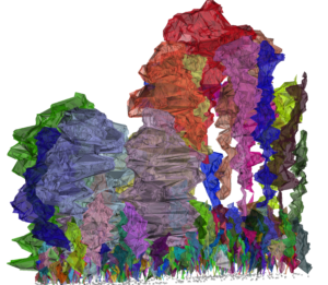
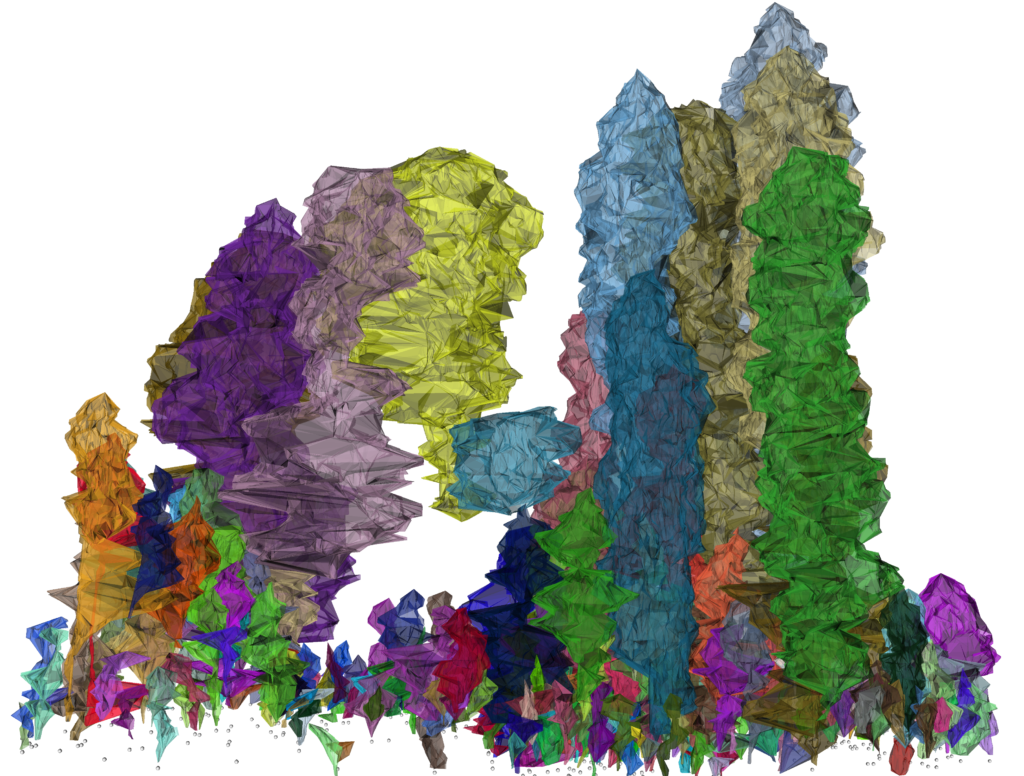
Žofín forest site sample with trees automatically segmented

Žofín forest site sample with trees in concave hull
Žofín forest site sample with trees in convex hull

top view to the concave hulls on Ranšpurk
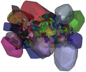
Top view on convex hull
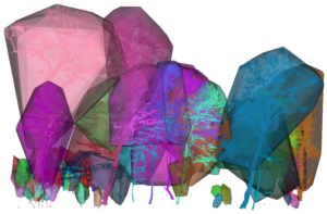
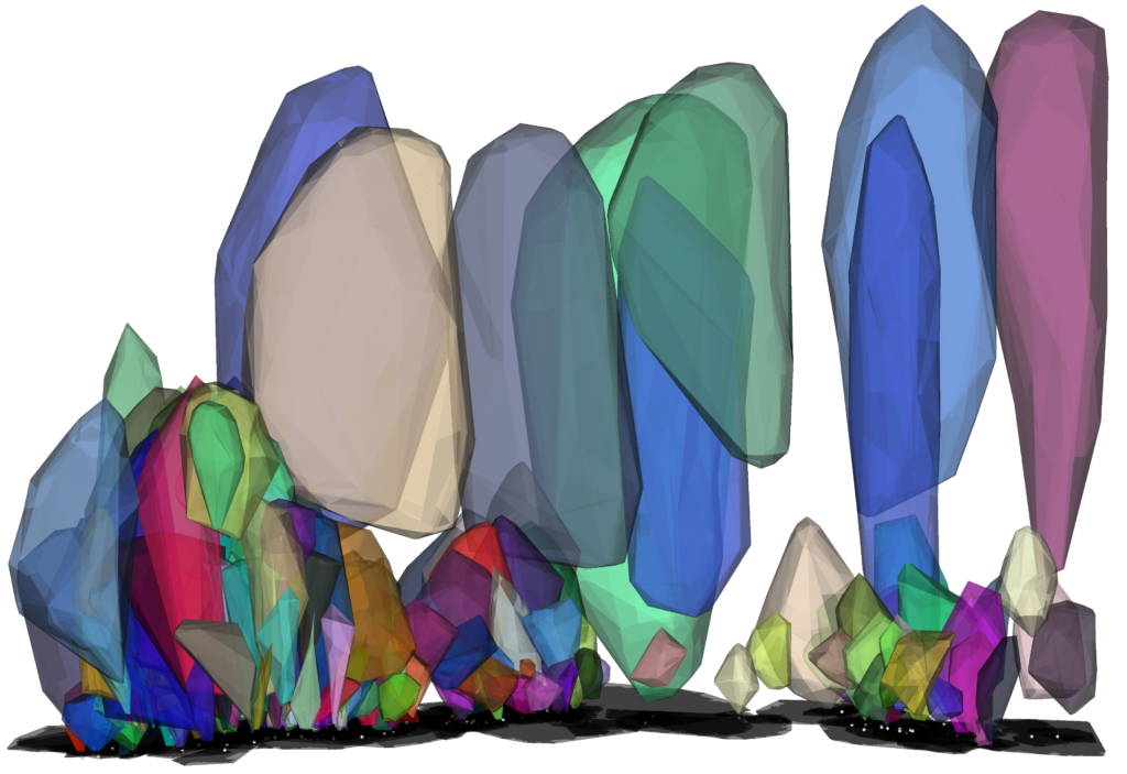
Žofín forest site sample with in convex hull of crowns

Žofín forest site sample with convex hull of crowns
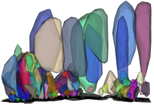
Convex hull of crowns with planar projection - space occupation


Field work

Jan scanning Wind River
scannig on the edge
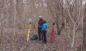
Ranšpurk data collection

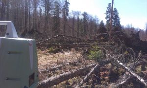
Boubín forest after disturbance

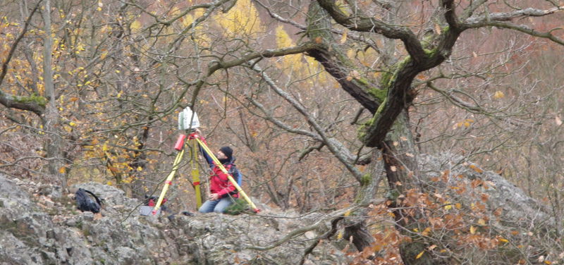
Kamil operating scanner on Velká Pleš site

Boubin forest in spring campaign
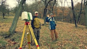
Jan and Dušan scanning on Velká Pleš site
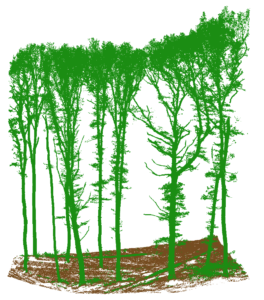
In field we work (Žofín site)

Žofín site


